0 NORTH PLAIN RD
Owner Information
SG LAND 1 LLC
C/O SCHUPP
WEST GRANBY, CT 06090 1116


Property Details
0 NORTH PLAIN RD is classified as a Undevelopable Residential Land.
0 NORTH PLAIN RD is valued at $1,800. The land is valued at $1,800 and the structures are valued at $0.
This property is in Zone R1A. Confirm with local Zoning Board authorities to ensure there are no overlays or other easements on this property.
The most recent deed for 0 NORTH PLAIN RD is recorded at the local registrar in Book 1365, Page 145. 0 NORTH PLAIN RD was last sold on Thursday, November 14, 2002 for $0.
Assessment data from fiscal year 2020.
Flood Data
According to the FEMA National Flood Hazard Layer, this property does not appear to be in a flood zone. It may also be in an area not yet reviewed. Nonetheless, confirm this information prior to taking any action.
To view the flood hazards around this property, create a FEMA "Firmette" Map of the area around 0 NORTH PLAIN RD.
Broadband Internet Providers
| Provider | Type | Bandwidth (mbps) | |
|---|---|---|---|
| Charter Communications Inc | Cable | 940 | 35 |
| Verizon New England Inc. | DSL | 15 | 1 |
| GCI Communication Corp. | Satellite | 0 | 0 |
| VSAT Systems, LLC. | Satellite | 2 | 1 |
| HughesNet | Satellite | 25 | 3 |
| T-Mobile | Fixed Wireless | 25 | 3 |
| Viasat Inc | Satellite | 35 | 3 |
Broadband service provider data from December 2020.
Adjacent Properties
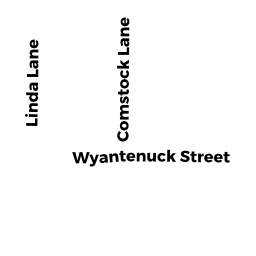
- 31 WYANTENUCK ST
Vacant, Selectmen or City Council (Municipal) owned by TOWN OF GREAT BARRINGTON - 0 NORTH PLAIN RD
Vacant, Selectmen or City Council (Municipal) owned by INHABITANTS OF THE TOWN OF - 0 REAR LONG POND RD
Hiking - trails or paths (Ch. 61B, not classified as OS) owned by BIRCHRIDGE OF SHERLOCK MT HOME OWNERS TR - 0 NORTH PLAIN RD
Mixed Use (Primarily Residential, some Agriculture) owned by SG LAND 1 LLC - 359 NORTH PLAIN RD
Mixed Use (Primarily Residential, some Agriculture) owned by GROCHMAL JOSEPH L